  • Elroi Consulting Inc
    Strategic GIS & Information Architecture for Ports, 
    Campus-Scale Real Estate and Mission-Driven NGOs

    High-impact consulting built on decades of experience designing enterprise GIS, asset management, and document ecosystems.

Services

Elroi Consulting Inc offers a unique combination of thought leadership, strategic planning, governance management and technical know-how. 


GIS Strategic Consulting
Document Management Modernization
NGO GIS & Data Readiness
Digital Archiving

Sample Work

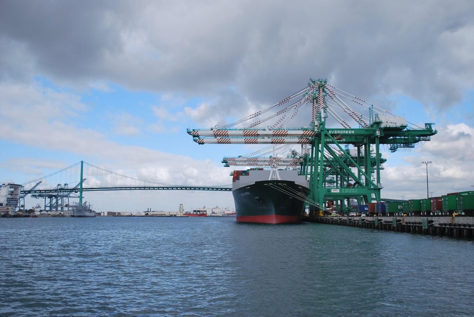
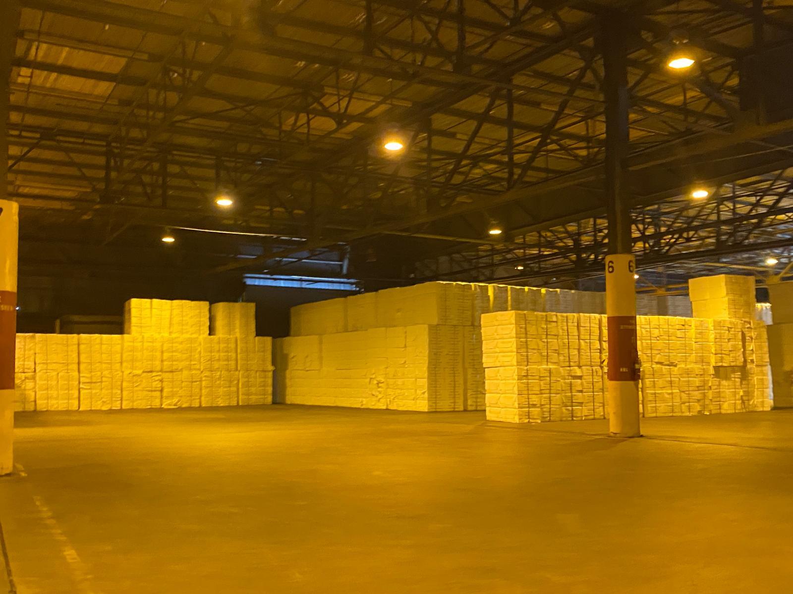
Experience derived from hundreds of projects in ports; airports; engineering; commercial real estate; non-profits; local government; water, wastewater and stormwater utilities; railroads; mining; telecommunications; software manufacturing; and more!

All
Ports
Real Estate
NGOs
All
Gulf Port A: While I was with NSGIS, a Tepa Company, I was the Senior Consultant and Principal Author of a 5-Year GIS Strategic Plan for a small U.S. Gulf port. A portion of the port had been previously devastated by a hurricane and had been rebuilt at great investment that also resulted in great data, while the undamaged part lacked documentation and was challenged with aging infrastructure. This multi-year, multi-phase plan consisted of 90 action plans, complete with budget, schedule and staffing details, needed to guide this port from having no GIS to having a leading-edge, small-port system.
New England Land Development: While I owned NorthSouth GIS LLC, I led the modernization of property leasing for a large land development corporation, using integrated GIS and document management technologies. Deploying the Enesgy Lease Manager software that my company developed, our team increased the speed, efficiency, and profitability with which this organization managed hundreds of leases and thousands of acres of land.
Port of Los Angeles: While I owned NorthSouth GIS LLC, I lead the design, implementation and expansion of the first enterprise GIS in any major U.S. port. Leading a team of up to twenty employees and contractors, and working to right deadlines set by Federal grants, we interviewed dozens of users, examined multiple existing and incoming systems and wrote several departmental strategic plans. We helped the client hire GIS staff, then trained and supported them, while building a robust geodatabase, performing multiple system integrations, training and supporting users.
Southern Industrial Complex and Commercial Property Manager: While I was with NSGIS, a Tepa Company, I analyzed and created a complete property lifecycle information model for this multi-billion dollar property portfolio owner. I then architected a multi-faceted integrated systems solution, combining databases, GIS, document management, dashboards and reports to not only manage the portfolio more efficiently, but also to safeguard it against natural disasters and knowledge leakage.
Gulf Port B: While I was with NSGIS, a Tepa Company, I was the Senior Consultant and Principal Author of a 5-Year GIS Strategic Plan for a rapidly growing, mid-sized U.S. Gulf port. A truly multi-modal port, this port had traditionally been very sensitive to commodity and natural resource market fluctuations, and never seemed to have time to “just sit down and plan ahead”. This multi-year, multi-phase plan, consisting of 150 action plans, represented a commitment to plan years into the future, and to commit the resources to implement that vision. This plan has been followed with great success for several years now, and I have already taken it through its first major overhaul.
African NGO: My first project back at Elroi Consulting Inc was to create a scalable technology framework for a growing NGO in Africa that is focused on the impacts on women of water insecurity, and in particular on water portage challenges. The framework included best in class document management and GIS, as well as a custom donor and aid tracking system. The framework is designed to handle rapid growth, while maintaining a personal relationship between the NGO and its benefactors.
Ports
Gulf Port A: While I was with NSGIS, a Tepa Company, I was the Senior Consultant and Principal Author of a 5-Year GIS Strategic Plan for a small U.S. Gulf port. A portion of the port had been previously devastated by a hurricane and had been rebuilt at great investment that also resulted in great data, while the undamaged part lacked documentation and was challenged with aging infrastructure. This multi-year, multi-phase plan consisted of 90 action plans, complete with budget, schedule and staffing details, needed to guide this port from having no GIS to having a leading-edge, small-port system.
Port of Los Angeles: While I owned NorthSouth GIS LLC, I lead the design, implementation and expansion of the first enterprise GIS in any major U.S. port. Leading a team of up to twenty employees and contractors, and working to right deadlines set by Federal grants, we interviewed dozens of users, examined multiple existing and incoming systems and wrote several departmental strategic plans. We helped the client hire GIS staff, then trained and supported them, while building a robust geodatabase, performing multiple system integrations, training and supporting users.
Gulf Port B: While I was with NSGIS, a Tepa Company, I was the Senior Consultant and Principal Author of a 5-Year GIS Strategic Plan for a rapidly growing, mid-sized U.S. Gulf port. A truly multi-modal port, this port had traditionally been very sensitive to commodity and natural resource market fluctuations, and never seemed to have time to “just sit down and plan ahead”. This multi-year, multi-phase plan, consisting of 150 action plans, represented a commitment to plan years into the future, and to commit the resources to implement that vision. This plan has been followed with great success for several years now, and I have already taken it through its first major overhaul.
Real Estate
New England Land Development: While I owned NorthSouth GIS LLC, I led the modernization of property leasing for a large land development corporation, using integrated GIS and document management technologies. Deploying the Enesgy Lease Manager software that my company developed, our team increased the speed, efficiency, and profitability with which this organization managed hundreds of leases and thousands of acres of land.
Southern Industrial Complex and Commercial Property Manager: While I was with NSGIS, a Tepa Company, I analyzed and created a complete property lifecycle information model for this multi-billion dollar property portfolio owner. I then architected a multi-faceted integrated systems solution, combining databases, GIS, document management, dashboards and reports to not only manage the portfolio more efficiently, but also to safeguard it against natural disasters and knowledge leakage.
NGOs
African NGO: My first project back at Elroi Consulting Inc was to create a scalable technology framework for a growing NGO in Africa that is focused on the impacts on women of water insecurity, and in particular on water portage challenges. The framework included best in class document management and GIS, as well as a custom donor and aid tracking system. The framework is designed to handle rapid growth, while maintaining a personal relationship between the NGO and its benefactors.

A Consultant You Can Trust

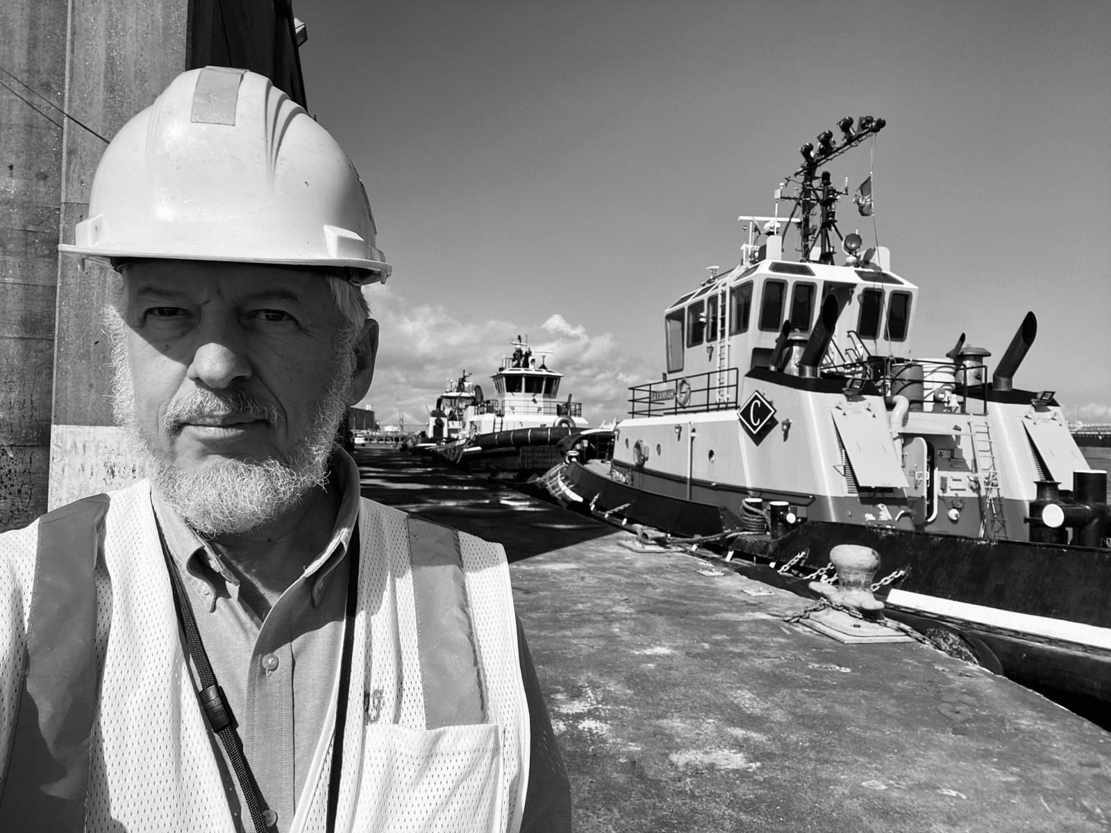
Daniel Elroi is a GIS pioneer, systems architect, and entrepreneur with a career spanning four decades across ports, industrial campuses, public-sector agencies, and humanitarian organizations. He has founded four technology and software companies in three countries, including NorthSouth GIS (NSGIS), a leading geospatial integration firm later acquired by the Tepa Companies, and the Enesgy suite of GIS-enabled information management tools. 


Daniel’s expertise sits at the intersection of GIS, document management, asset management, and enterprise information governance. His career includes leading the implementation of the first enterprise GIS for any major U.S. port, architecting mission-critical systems for complex infrastructure environments, and designing multi-year strategic plans to guide organizations through modernization. 

Today, through Elroi Consulting Inc. (ECI), Daniel focuses on high-impact engagements where geospatial thinking, information strategy, and organizational readiness can meaningfully improve operations, transparency, and long-term resilience.